
Flood Risk Rises Along Tana River as Seven Forks Dams Fill Up
The Ministry of Interior and National Administration has issued a flood alert for communities along the Tana River basin following a sharp rise in water levels linked to heavy rainfall upstream.
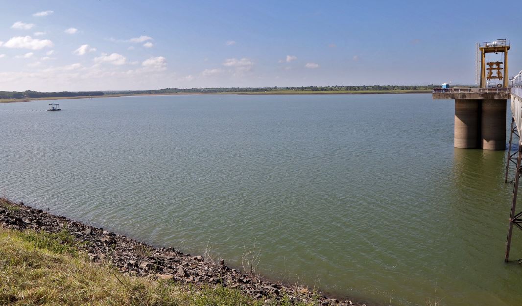
According to a press release dated April 29, 2026, increased inflows from the upper catchment areas, including around Mount Kenya, have significantly raised water levels in the Seven Forks dams, particularly Masinga Dam.
Authorities have initiated controlled water releases at Kamburu Dam, Gitaru Dam and Kindaruma Dam to manage rising levels.
However, the alert warns that if rainfall continues or Kiambere Dam reaches capacity, additional water could be discharged downstream, increasing flood risk.
Water levels along the river are expected to begin rising from April 29, with early flooding likely in low-lying areas of the lower basin and delta by May 1.
The peak risk window is projected between May 2 and May 3, when water levels could overflow into surrounding floodplains. Areas identified as high-risk include Garissa, Hola and Garsen.
Residents in affected zones, especially in the Tana Delta, have been advised to take early precautionary measures, including:
- Moving to higher ground.
- Relocating livestock and securing property.
- Avoiding crossing flooded areas.
Following guidance from local authorities and emergency teams.
The advisory indicates a high likelihood of flooding if rainfall persists, with authorities urging early action to reduce risk to life and property as water levels continue to rise across the basin.